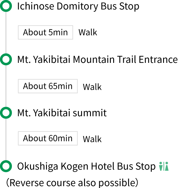
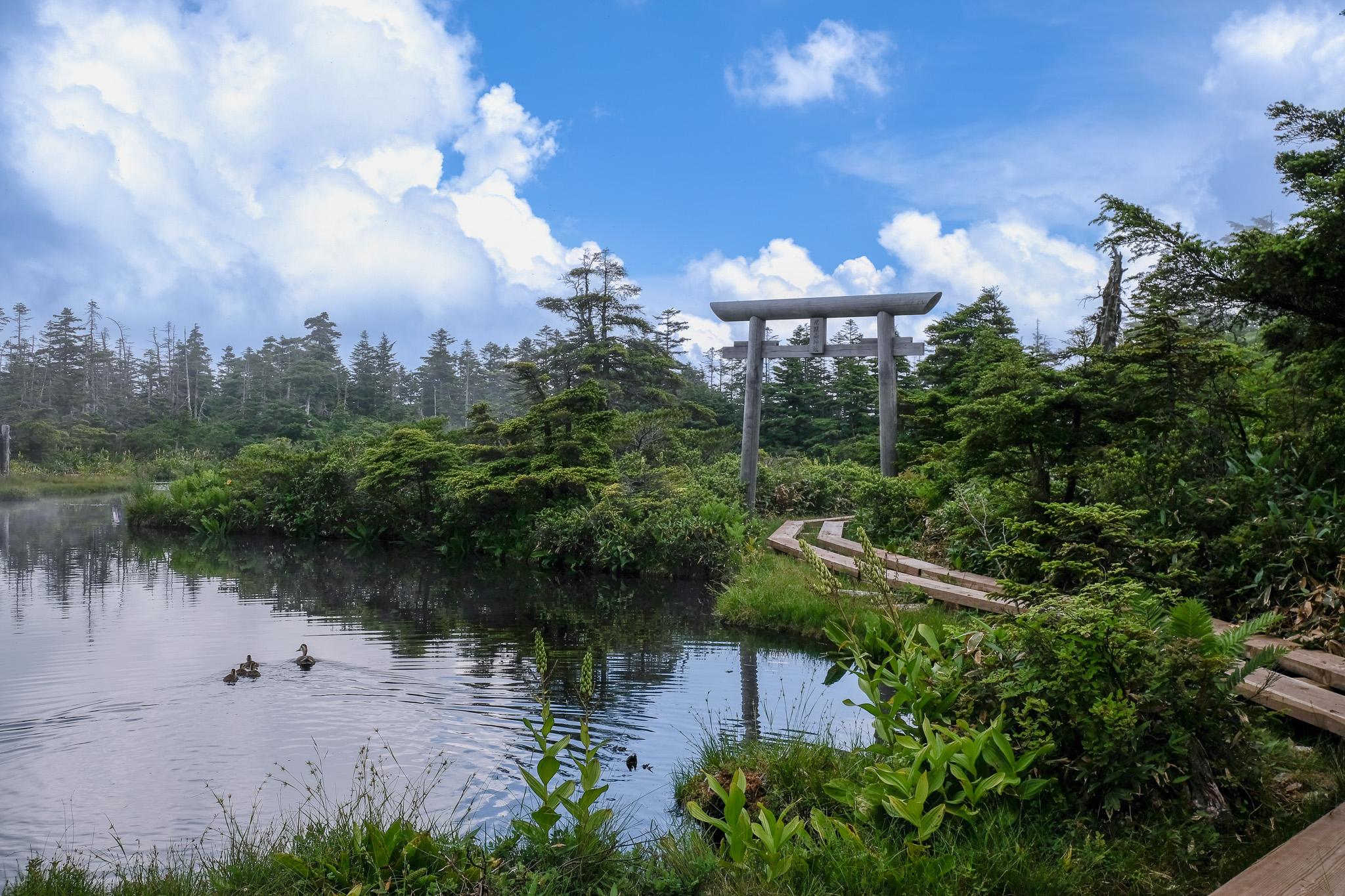
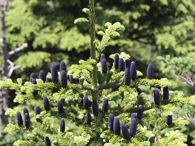
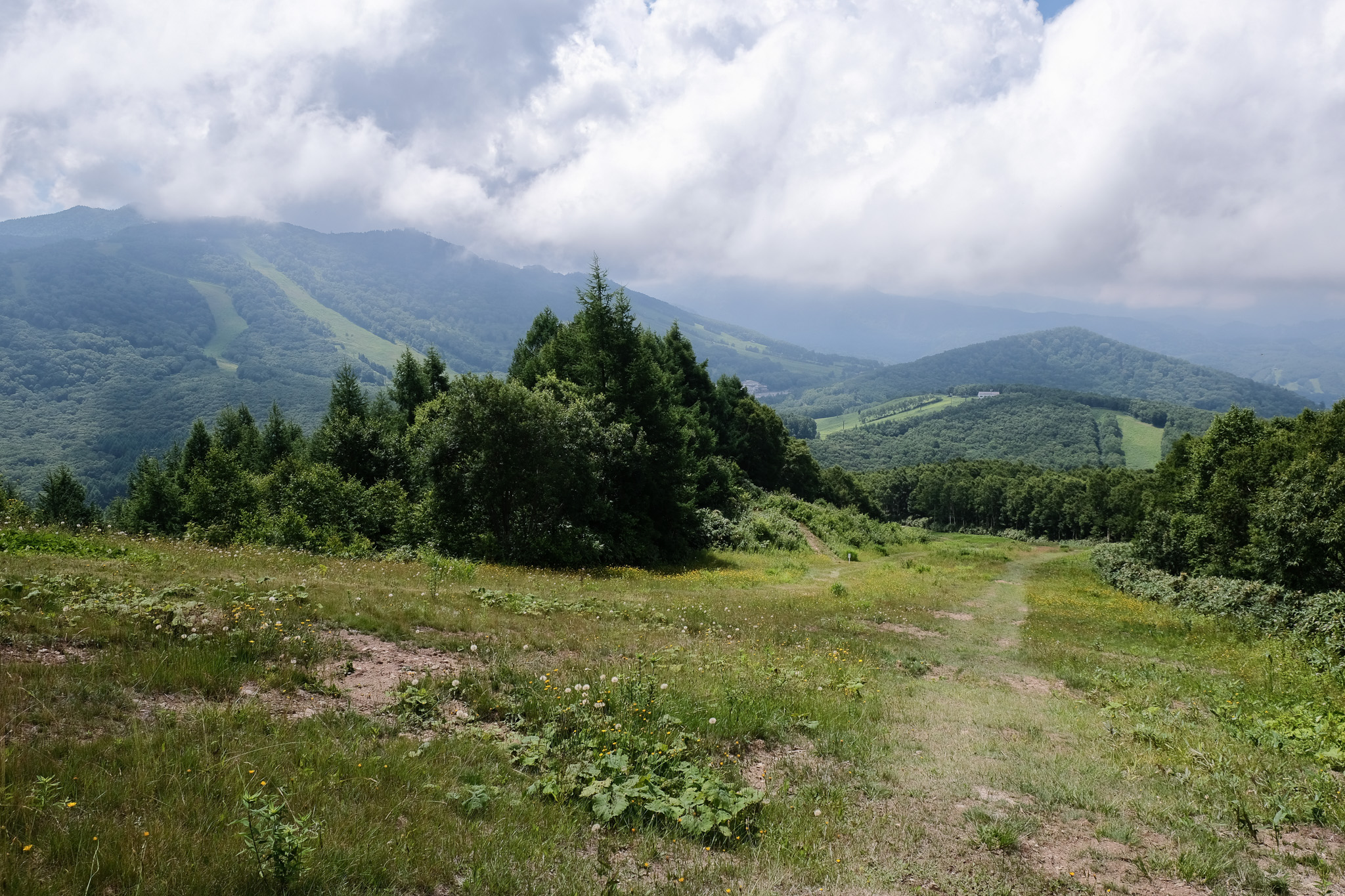
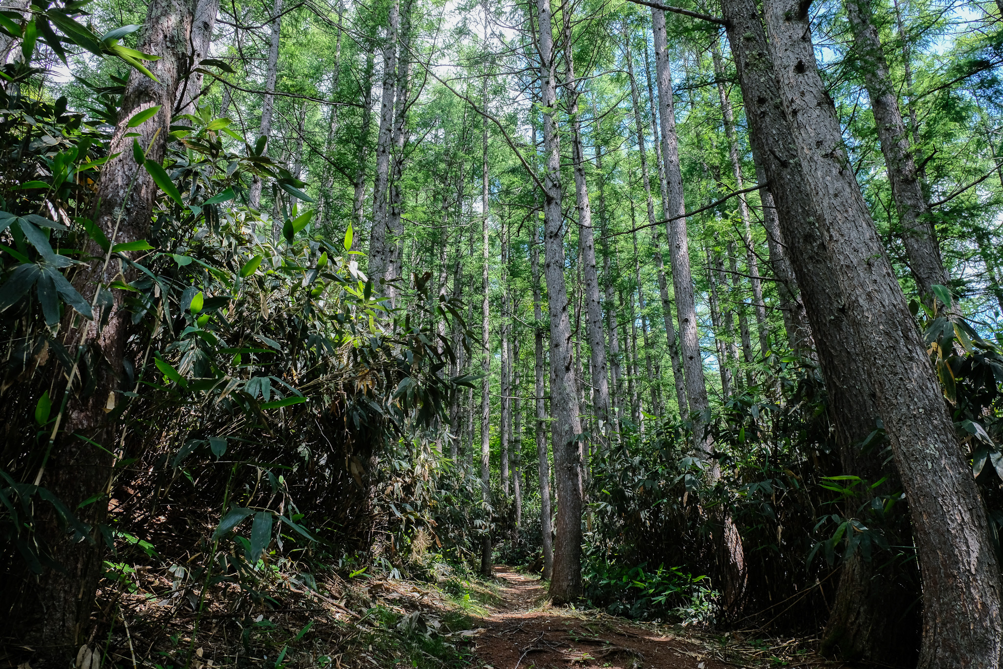
Yakebitai-yama Trail Trails condition: Closed Trail Level Challenging Distance 7km Elevation gain 400m Estimated Time 2h10m Type of trail - This trail primarily crosses ski slopes, offering expansive views as you climb. At the summit, the Chigo-ike Pond and a broad wetland are surrounded by trees, with wooden paths for walking. Route Map See enlarged mapGPS date download Photo Gallery Chigo Pond Abies mariesii (Fir Tree) Trails List Search Trails conditionWalkableAccess restrictedClosedTrail LevelEasyModerateChallengingDistanceLess than 2km2km - 4km4km - 6km6km - 8kmMore than 8kmElevation gainLess than 100m100m - 300m300m - 500mMore than 500mEstimated TimeLess than 1h1h - 2h2h - 3hMore than 3hType of trailForest Therapy Certification Course Search Reset Trails List